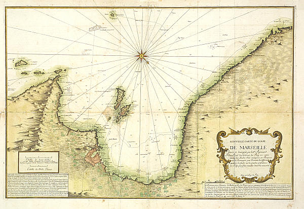
Author: J. AYROUARD
Date: 1735
Technique: Copper engraving
Size: 82,5X55
Condition: Fold and restoration marks on the map's verso - Map of large size and therefore difficult to preserve - Colors
Wonderful nautical chart of the Gulf of Marseille with north-south orientation, taken from the nautical atlas "Recueil de Plusiers Plans del Ports Mediterran", printed in Paris.